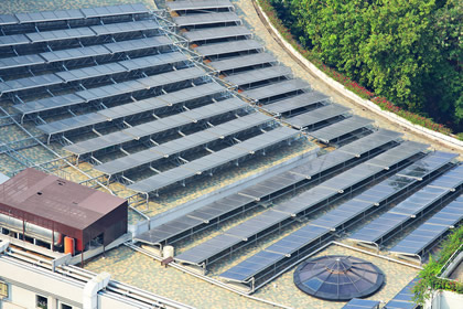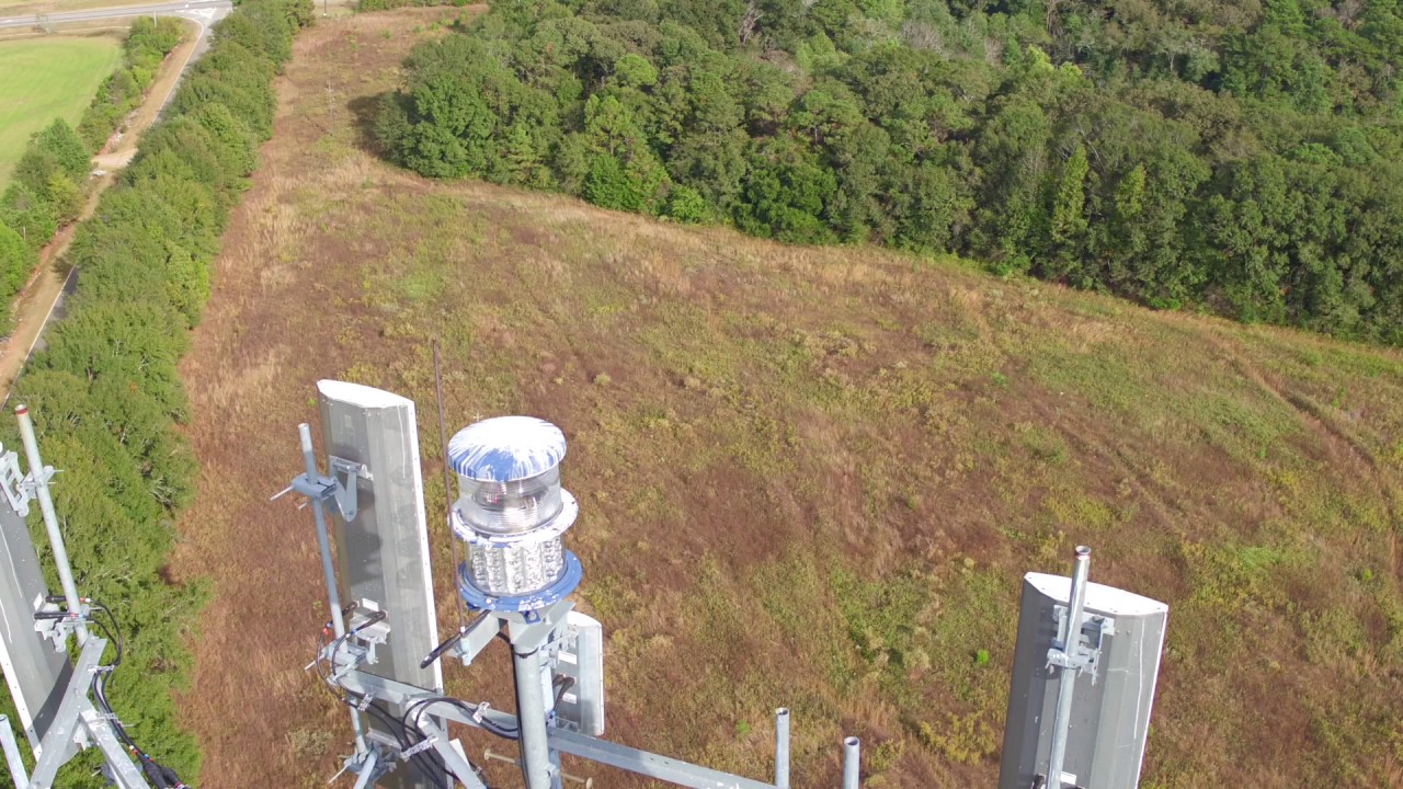
Southern Aerial Images can assist you with inspections of a variety of industrial equipment and structures to include antennas, solar panels, bridges, cell and water towers and more. Aerial photography/videography can save manpower, keep your workforce safe and provide crucial information. Insurance companies, law enforcement agencies and FEMA can also utilize this type of footage to assess damage related to storms, accidents or catastrophic events and also have access to areas unsafe for people to travel.
Additionally, our drone services can be used to get actionable data that can be used to improve crop yields, reduce survey times so that you work more efficiently with less workload. Using orthomosaic and NDVI imaging and mapping, you can look at plant health, areas of stress and efficiency of your irrigation and fertilizer systems.